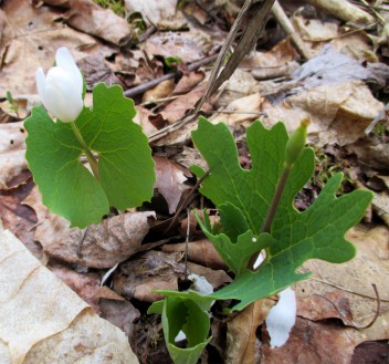
From plant and animal species to geographic features, every piece of land is unique. Without a thorough inventory, it’s impossible to understand your property, to realize its full potential—or even to set goals for its management.
 Redstart’s inventory and planning process starts with a thorough inventory of your property. We’ll consider the soil and identify what’s living in the forest, from the understory vegetation to overstory trees, including those with timber value. We’ll look at the natural communities and how they interact. We’ll identify special ecological features or issues. We’ll consider access for timber harvesting and recreation, help determine boundaries with your neighbors, and explore evidence of past management history.
Redstart inventories combine the best of human knowledge, scientific practice, and forestry technology. As we walk the land, we’ll identify special features such as a grove of high value veneer timber, possible sites for logging roads and hiking trails, and ecologically sensitive areas such as vernal pools that provide habitat for frogs and salamanders. And we’ll use GPS and geographic information systems (GIS) to create detailed digital maps that show those features clearly.
Using these digital maps and the knowledge gained from exploring your land in detail, we’ll collaborate with you to develop a comprehensive written management plan. We’ll listen carefully to your input, apply your feedback to plan drafts, and create a final blueprint that effectively addresses your priorities and concerns. As we create your management plan, we’ll develop a knowledge base and a working relationship that ensures effective stewardship of the land going forward.

